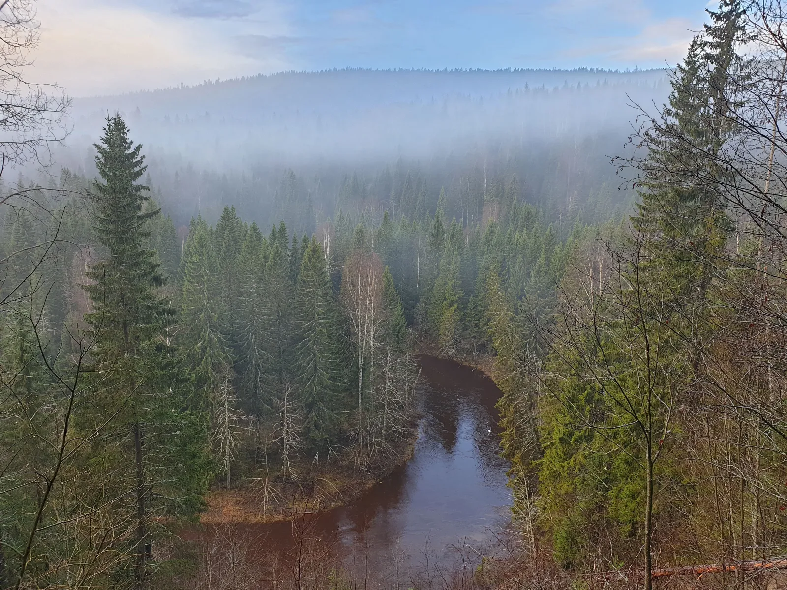
Mjällådalens nature reserve
In the Mjällådalen there are several miles of hiking trails, many rest areas and wind shelters for overnight stays. Mjällån is in the center and winds its way through the valley like a snake.
 Mehr Informationen
Passend für
- Adventure seekers
- Family
- Handicap Accessible
- Par
- Grupper
Gut zu wissen
- Free admission
- Tour
Suggested visit length: 2-3 hours One day
Komm her
- Parkplatz
Beschreibung
Mjällådalen is a large reserve with good opportunities for outdoor activities. Several hiking trails lead around the area. The terrain is quite hilly in places with high ridges and lots of ups and downs. The trails often run close to the river and offer nice views and rest areas. The river is also popular for fishing.
Hiking
The entrance and parking lot to the reserve is on the west side of road 331 just north of Tunbodarna. From here, three hiking loops start, which are marked with different colors. On the map above you can see all the hiking trails in the nature reserve. Visit the Västernorrland County Administrative Board's website to download a folder and see more information about the trails.
Södra Mjällåslingan (blue) is 5 kilometers long from and back to the entrance. It is a hiking loop that is suitable for walking with children because it is not as long and hilly as other hiking trails.
The forest loop (yellow) is an extension of the Södra Mjällåslingan which continues further down the river. The entire round to and from the parking lot is approximately 10 kilometers. The forest loop is more hilly than the Södra Mjällåslingan and goes a lot through fine old spruce forest.
Norra Mjällåslingan (red) is almost 12 kilometers long and runs in a circle on both sides of the river. It offers alternating walks over steep ridges and along flatter sections along the river.

