
Ådalsleden 2 Boteå-Kyrkviken
Hike from river to sea along this hiking trail that goes from Boteå Church up to Gålsjöbruk via Undromshöjden down to Kyrkviken. There it connects to the Wilderness Trail that takes you out to the coast and Ullånger.
Contact info

 Length: 33
 Time required: 1-2 days
 Difficulty level: Medium
 GPX-file
  More information
Good to know
- A to B
Suggested visit length: 2 days
Get here
- Free parking
Road description : The trail can be hiked from Boteå Church where parking spaces are available.
Description
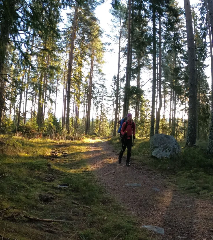
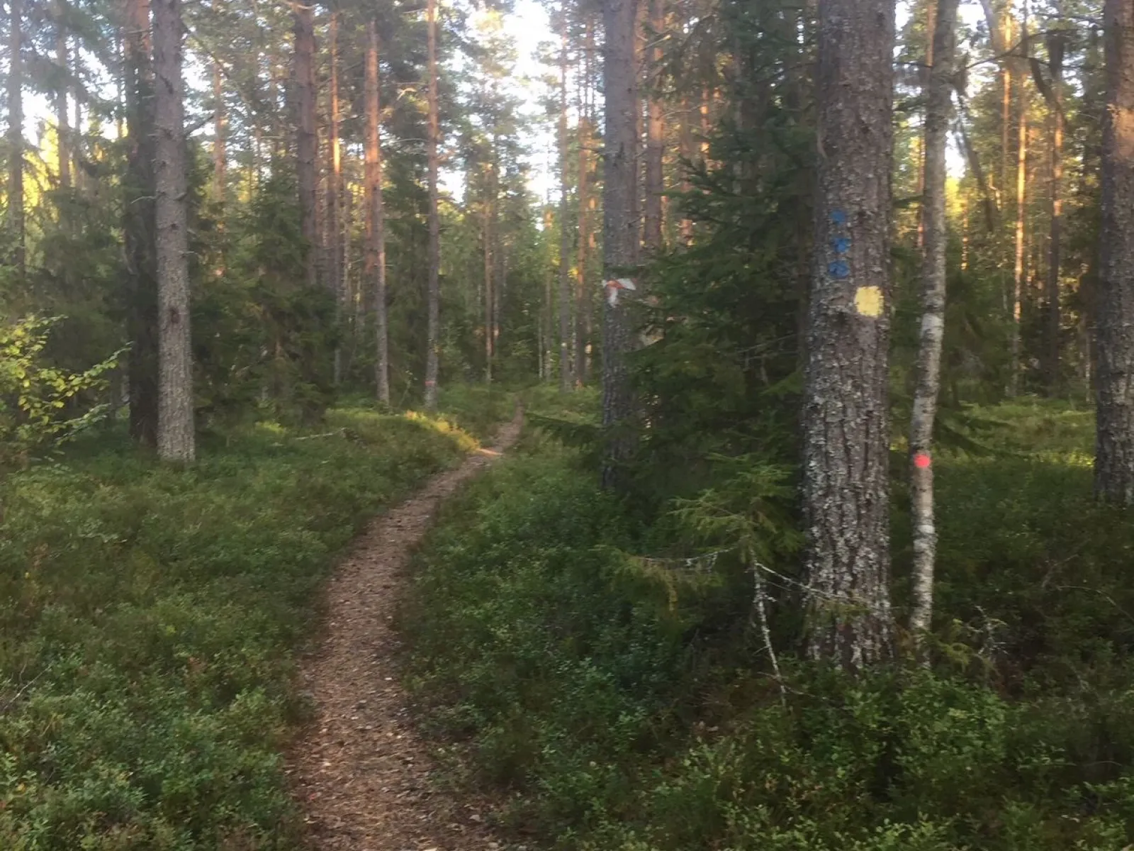
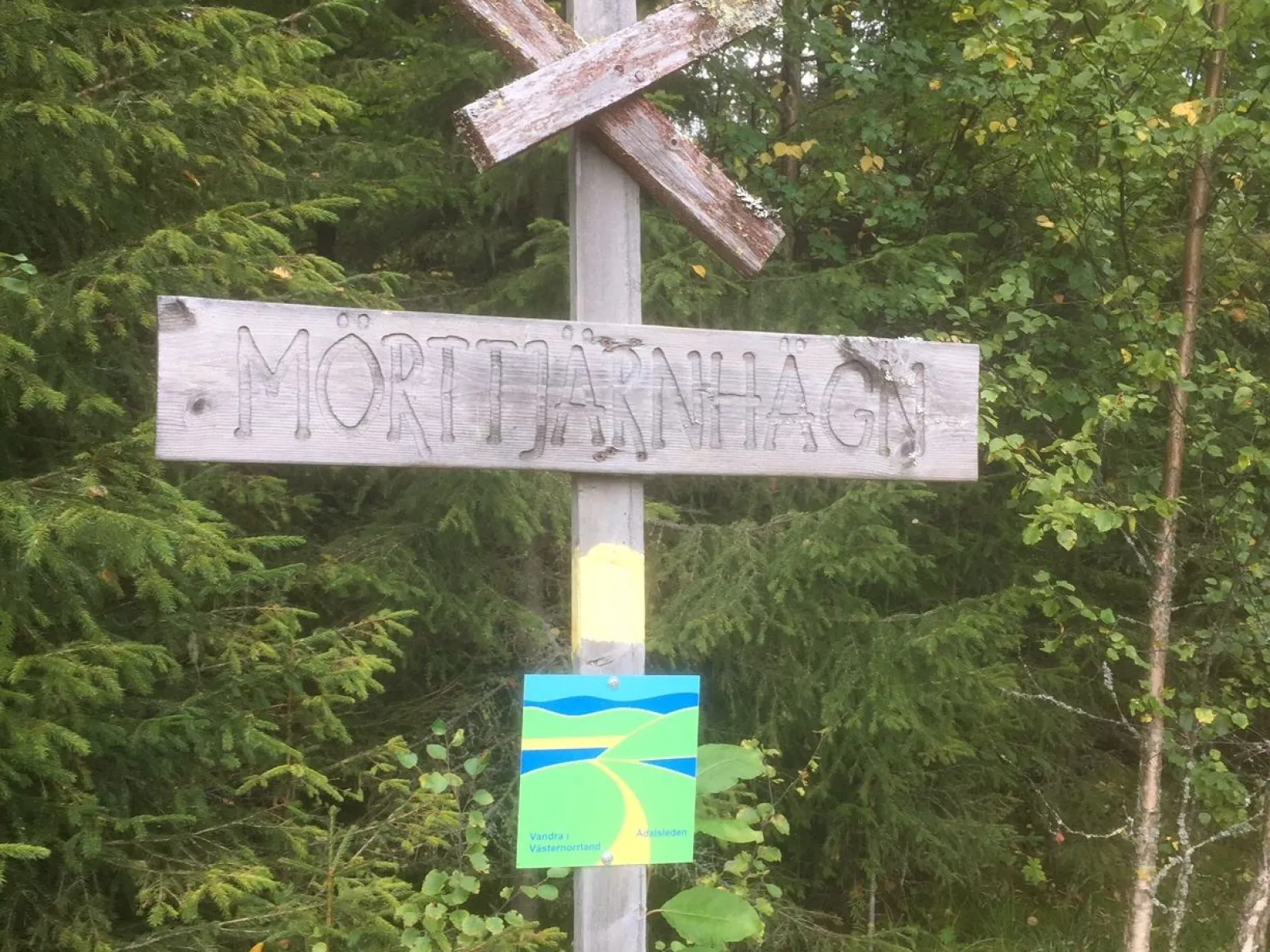
The hiking trail is relatively easy to walk and goes on forest paths and gravel roads. The trail is marked with yellow dots and signs "Hike in Västernorrland". From the start at Boteå church next to the Ångerman River, it is possible to hike the Ådalsleden to the Wilderness Trail, to the High Coast Trail and finally to the World Heritage Trail, to finally reach the Bothnian Sea, and hike "from river to sea".
Download map brochure hereShort trail description and suggestions for stages. Stage Boteå Church – Gålsjö Bruk about 10 km
From Boteå, the Pilgrim Trail, which is also signposted, also goes to Gålsjö Ironworks. The trail passes Boteåsen, Stöndar and on the way up to Gålsjö Ironworks.
Stage Gålsjö Bruk – Undromsbodarna about 10 km
From Gålsjö Bruk, the trail continues towards Undromsbodarna. Here, the trail is mostly on paths, except for a section on gravel roads where the trail passes the Bothnia Line.
Stage Undromsbodarna – Sanna approx. 8 km
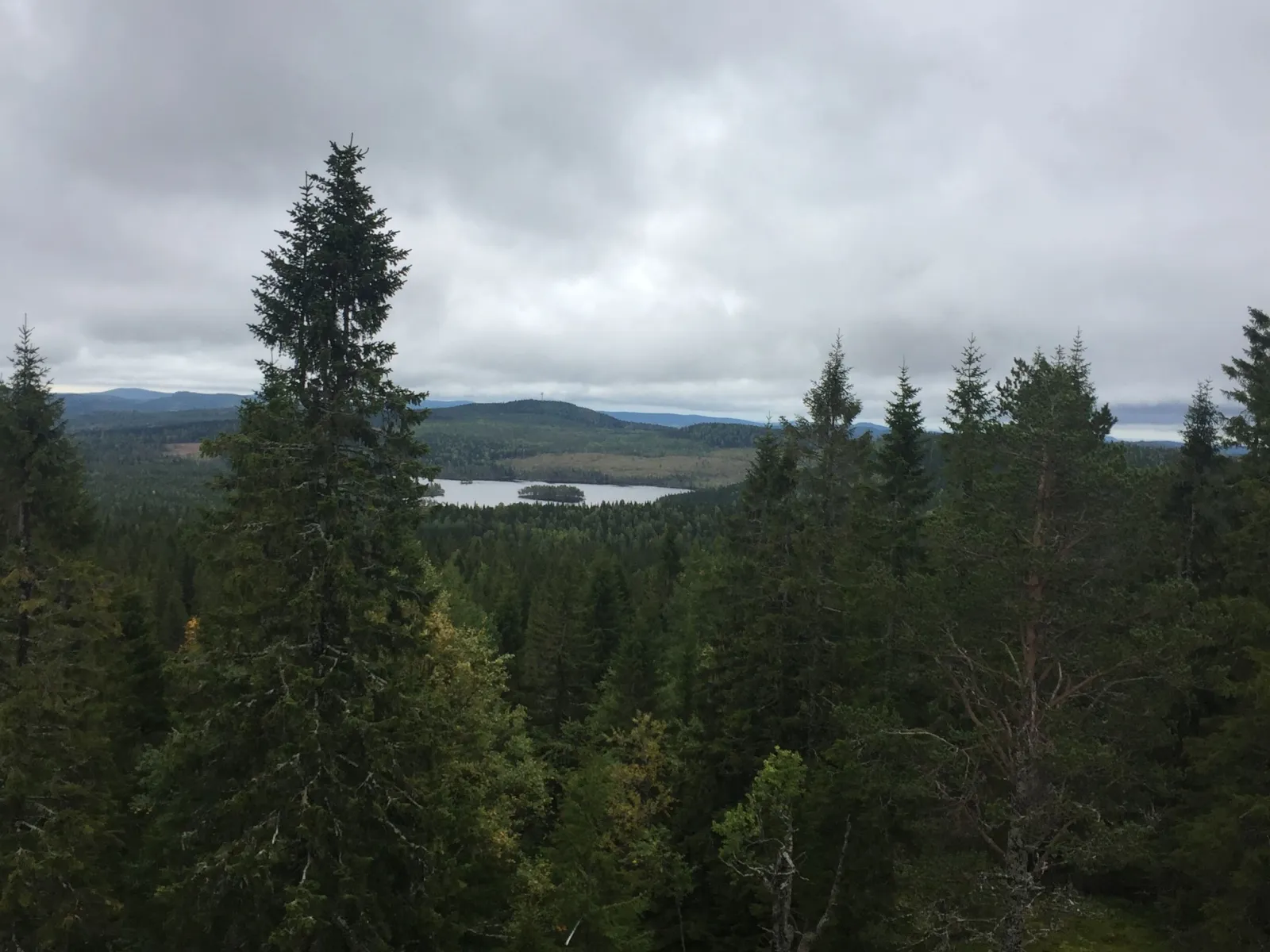
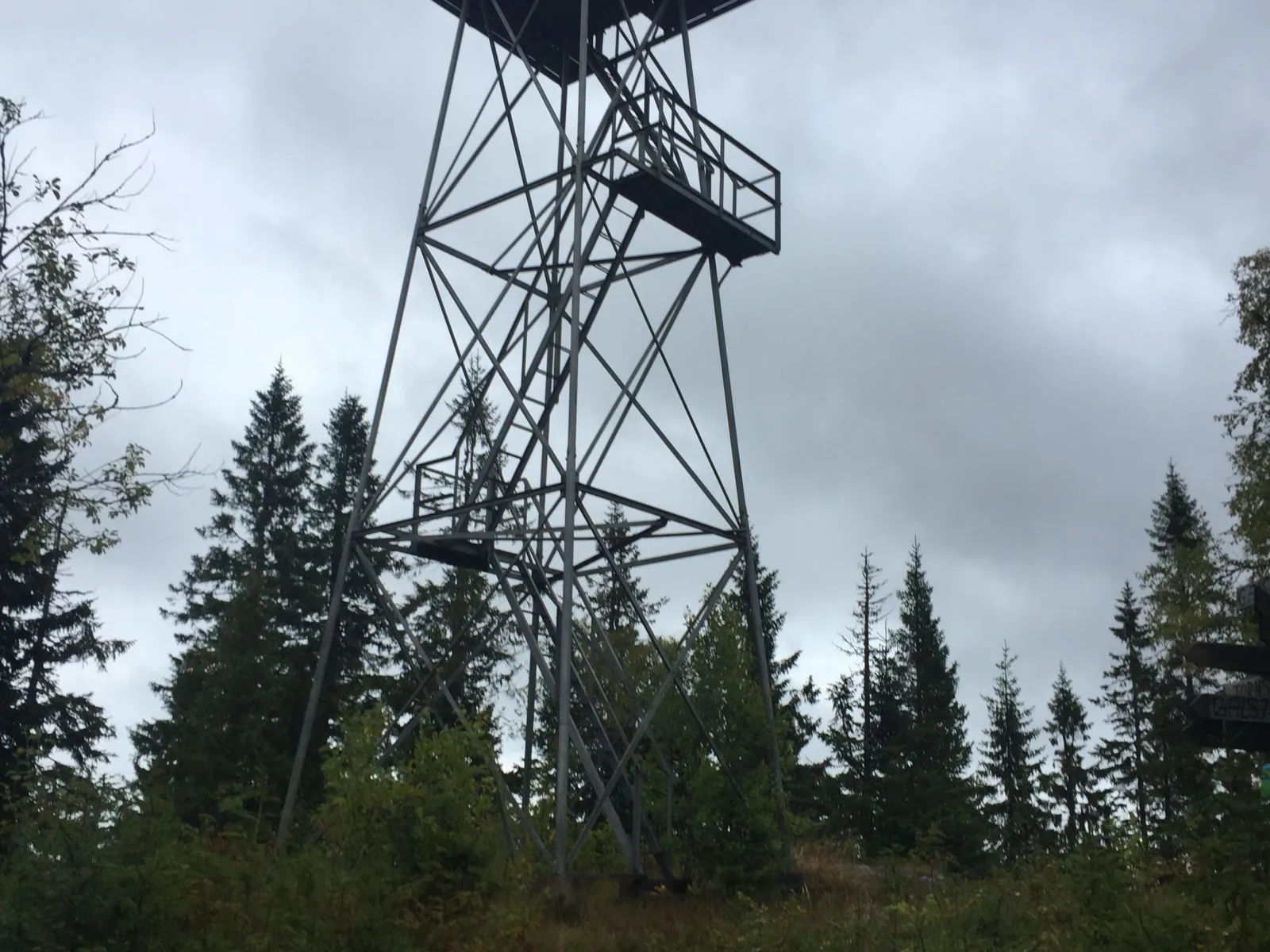
After passing Undromsbodarna, you walk a nice and easy-to-walk stretch towards the classic fire tower at Undromshöjden. Undromshöjden is 431 m above sea level and is one of the highest mountains in Ångermanland. Here there are plenty of wide views of forests and lakes. From the fire tower the view is breathtaking and on a clear day you can see all the way down to the sea.
From Undromshöjden you follow the so-called Tornstigen down to the main road at Sanna on the north side of Gålsjön.
Stage Sanna - Kyrkviken approx. 5 km
From Sanna, the trail goes east of Gålsjön, to be connected to the Wilderness Trail at Kyrkviken.
Download map brochure hereShort trail description and suggestions for stages. Stage Boteå Church – Gålsjö Bruk about 10 km
From Boteå, the Pilgrim Trail, which is also signposted, also goes to Gålsjö Ironworks. The trail passes Boteåsen, Stöndar and on the way up to Gålsjö Ironworks.
Stage Gålsjö Bruk – Undromsbodarna about 10 km
From Gålsjö Bruk, the trail continues towards Undromsbodarna. Here, the trail is mostly on paths, except for a section on gravel roads where the trail passes the Bothnia Line.
Stage Undromsbodarna – Sanna approx. 8 km
After passing Undromsbodarna, you walk a nice and easy-to-walk stretch towards the classic fire tower at Undromshöjden. Undromshöjden is 431 m above sea level and is one of the highest mountains in Ångermanland. Here there are plenty of wide views of forests and lakes. From the fire tower the view is breathtaking and on a clear day you can see all the way down to the sea.
From Undromshöjden you follow the so-called Tornstigen down to the main road at Sanna on the north side of Gålsjön.
Stage Sanna - Kyrkviken approx. 5 km
From Sanna, the trail goes east of Gålsjön, to be connected to the Wilderness Trail at Kyrkviken.