
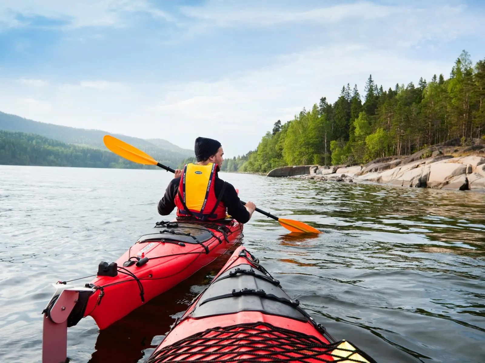
The High Coast Kayaking Route
The High Coast Kayaking Route is an excellent kayaking trip for active outdoor lovers who want to get even closer to nature without rushing too much. The trip is perfect if you want to combine kayaking with hiking in the Skuleskogen National Park or climbing Sweden’s highest island Mjältön.
Good for
- Adventure seekers
Good to know
- A to B
Suggested visit length: 2 days
Get here
Road description : Starting point at Sollefteå Camping.
Description
Day 1
Näskeviken-Tärnättholmarna 6 km
The route starts in the bay Näskeviken. From here, kayak out in Näskefjärden inlet and follow the coast towards Skuleskogen National Park and Tärnättholmarna. You can go ashore here for some hiking in the national park. Hike to one of the most classic places in the High Coast – the Slåttdalsskrevan canyon and Slåttdalsberget. You can pitch a tent or stay on one of the small cabins at Tärnättholmarna.
Day 2
Tärnättholmarna-Mjältön 9 km
From Tärnättholmarna, continue on paddling southwards. You will pass the bay Kälaviken before you come to the passage known as Mjältösundet that takes you between the mainland and the island of Mjältö. About half way along the western side of the island you will see Sunds summer grazing farm. This is a good place to go ashore for some hiking and to spend the night.
Day 3
Mjältön-Veåsand 12 km
Before you paddle back towards the mainland, take the time to visit Harkbuden on Mjältön’s southern point. Highly recommended. Be careful when you paddle past Fanön’s southern point. The section towards Skuleberget and the end of the trip at Veåsand is very beautiful. Paddle along the south side of the Norrfjärden inlet and pass the islands Storvalmen and Lillvalmen and the dramatic cliff faces of Värnsberget.