

Fälle Outdoor Area
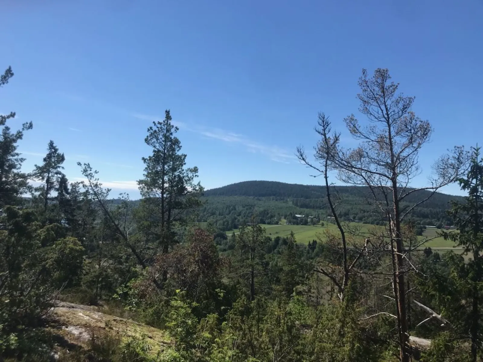
On Fälleberget, just outside Härnösand, there are several hiking trails. The nature is characterized by rocky terrain alternating with marshes and small ponds.
Contact info

 Length: 3.5-12.5 km
 Difficulty level: Medium
 Starting point
: Fälleberget
Starting point
: Fälleberget
 GPX-file
  More information
Good for
- Adventure seekers
- Family
- Handicap Accessible
- Couples
Good to know
- Tour
Get here
- Free parking
- Disabled parking
Road description : Turn off the E4 just south of Härnösand towards Fälleberget. Signposted to parking.
Description
All trails pass Värptjärn, which offers put and take fishing with stocked fish and an accessible jetty, as well as a wind shelter, barbecue area and outhouse. The trails start from the parking lot at the sand pit before Värptjärn. Along the trails there are also several bird play sites and viewpoints.
Lomtjärnsleden (blue):
The Lomtjärn trail is 3.5 kilometres long and runs on forest paths and mountains. The level of difficulty is easy, but it can be wet at certain times of the year. Just before Lomtjärn there is a detour to the area's highest point, Spjutåsberget 195.8 metres above sea level. Lomtjärn has a rich bird life.
Värptjärnsleden (red):
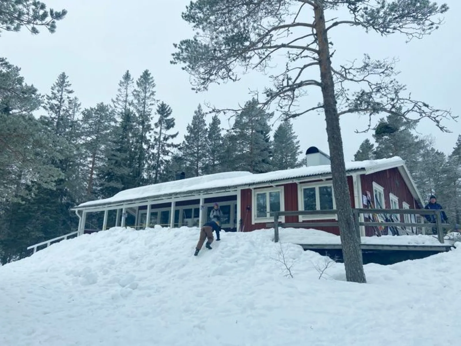
The Värptjärn trail is 5 kilometers long and with a normal degree of difficulty. It is a little hilly in some places, but mostly flat and easy to hike terrain. The trail passes Fällestugan where there are barbecue areas and toilets. The cabin is run by Friluftsfrämjandet and is sometimes open, especially holidays in winter. Read more on Friluftsfrämjandet's website.
Svartviksleden (black) and Knivsjömalen (yellow):
Svartviksleden is with its 12.5 kilometers the longest trail. The terrain is relatively demanding and the surface is mixed with gravel roads, paths, marshes and rock outcrops. You can start both from the parking lot in the sand pit or from Svartvik's bathing area. If you start from Svartvik, the trail mostly goes uphill for the first three kilometers or so before you connect to Värptjärnsleden just south of Fällestugan. There you walk in a loop around Lomtjärn, Värptjärn and Fällestugan before you come back to the connection and go down to Svartvik again.
Just before the final destination, you can make a slightly longer detour of 2.2 km to Knivsjömalen. That trail is signposted with blue signs and white dots on the trees. You walk through nice old forest and over rocky ground. You come up on a hill with a nice view where you will also find two larger burial cairns just a few meters from the trail. Finally, you come down to the beach and the sea where there is a barbecue area and bench.
The outdoor area is also a popular destination in winter as it is excellent to go touring skiing in the area or hiking with snowshoes.
More information about Fällestugan
Download Härnösand's hiking guide
Lomtjärnsleden (blue):
The Lomtjärn trail is 3.5 kilometres long and runs on forest paths and mountains. The level of difficulty is easy, but it can be wet at certain times of the year. Just before Lomtjärn there is a detour to the area's highest point, Spjutåsberget 195.8 metres above sea level. Lomtjärn has a rich bird life.
Värptjärnsleden (red):
The Värptjärn trail is 5 kilometers long and with a normal degree of difficulty. It is a little hilly in some places, but mostly flat and easy to hike terrain. The trail passes Fällestugan where there are barbecue areas and toilets. The cabin is run by Friluftsfrämjandet and is sometimes open, especially holidays in winter. Read more on Friluftsfrämjandet's website.
Svartviksleden (black) and Knivsjömalen (yellow):
Svartviksleden is with its 12.5 kilometers the longest trail. The terrain is relatively demanding and the surface is mixed with gravel roads, paths, marshes and rock outcrops. You can start both from the parking lot in the sand pit or from Svartvik's bathing area. If you start from Svartvik, the trail mostly goes uphill for the first three kilometers or so before you connect to Värptjärnsleden just south of Fällestugan. There you walk in a loop around Lomtjärn, Värptjärn and Fällestugan before you come back to the connection and go down to Svartvik again.
Just before the final destination, you can make a slightly longer detour of 2.2 km to Knivsjömalen. That trail is signposted with blue signs and white dots on the trees. You walk through nice old forest and over rocky ground. You come up on a hill with a nice view where you will also find two larger burial cairns just a few meters from the trail. Finally, you come down to the beach and the sea where there is a barbecue area and bench.
The outdoor area is also a popular destination in winter as it is excellent to go touring skiing in the area or hiking with snowshoes.
More information about Fällestugan
Download Härnösand's hiking guide