The Härnöleden Trail
The Härnöleden Trail is twenty kilometres long and goes the entire way around the island of Härnön. You will hike through urban areas, forests, over mountains and along the coast.
Contact info
Description
The Härnöleden Trail is relatively easy and suitable for the whole family, but there are side trails that are more challenging for those who want to explore more. You can also mountain bike the entire trail. There are numerous viewpoints, wind shelters and barbeque areas. Don’t miss the various side trails, they will lead you to the best views and experiences.
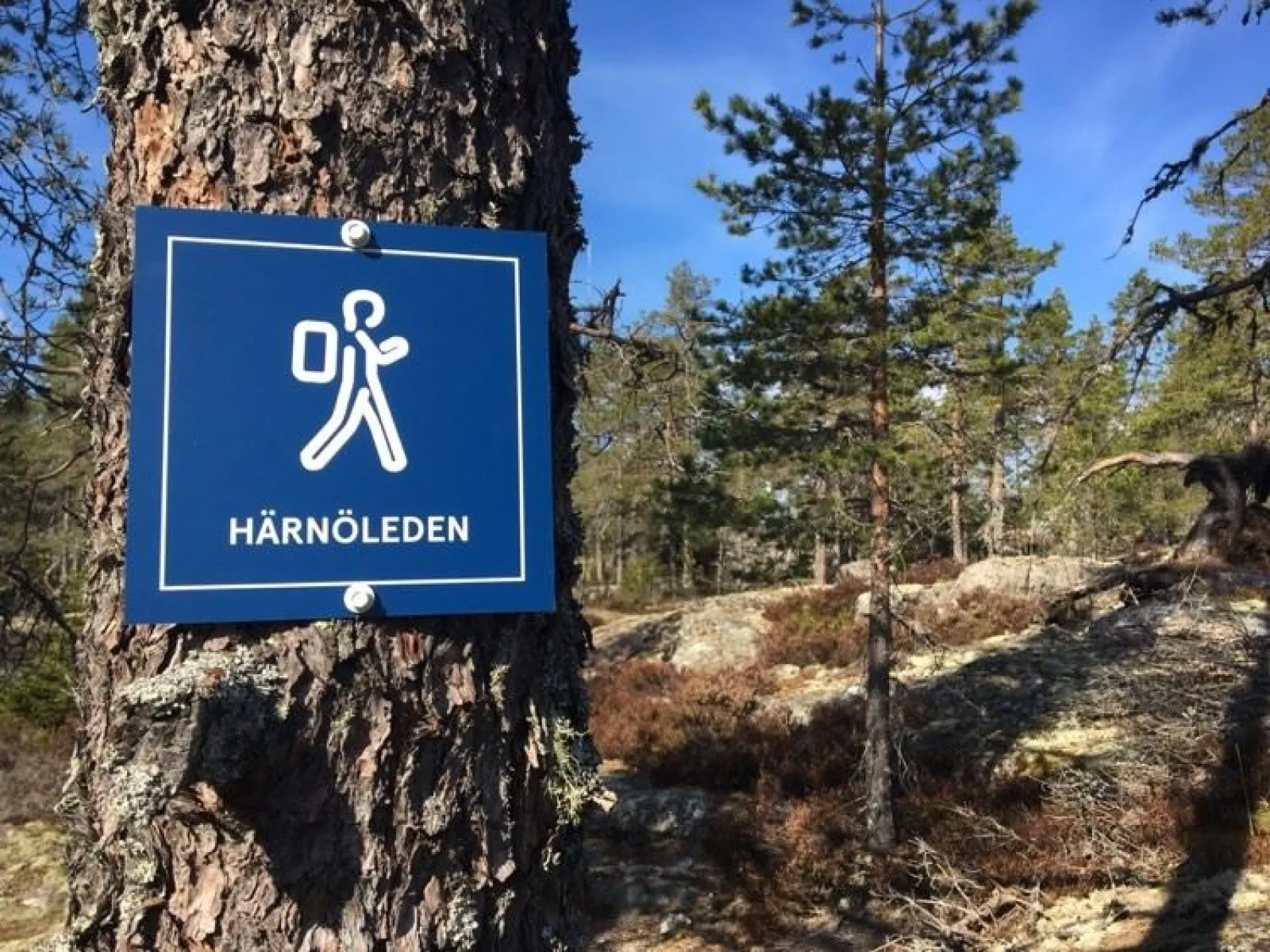
The Härnöleden Trail starts in the centre of Härnösand so you can get to it directly from the train or bus. If you just want to hike a section of the trail, take bus 501 to Smitingen (summertime only), bus 501 to Vangsta, bus 502 to Stenhammar (close to Vårdkasen) or bus 503 to Högsläten. The Härnöleden Trail has blue signposts and white spots painted on trees showing walkers the way.
Section 1: Härnösands Central – Sälsten: Distance: 3.6 km along well-maintained paths (easy)
Side trail: Lövhällan 700 m
Section 2: Sälsten - Smitingen: Distance: 7.8 km along forest trails, country roads and gravel roads (easy, intermediate)
Side trail: Smitingen 500 m
Section 3: Smitingen - Vårdkasen: Distance: 6.3 km along forest trails (intermediate)
Side trail: Speckstaberget 1.5 km (challenging), Norra utsikten 1.6 km (challenging)
Section 4: Vårdkasen – Central Härnösand: Distance: 5.4 km along forest trails and walkways
Side trail: Southern viewpoint 300 m, Nattviksrundan 1.5 km
Download map