
The Stenberg Trail
Hiking trail in a nature shaped by the melting of the inland ice.
Contact info

 Length: 3 km
 Time required: 1-2 hours
 Difficulty level: Low
 GPX-file
  More information
Good to know
- Tour
Suggested visit length: 2-3 hours
Get here
- Free parking
Road description : Turn off road 331 in Viksmon towards Sörgraninge, drive about 1.5 km to Grunne. Turn left under the power line after you have passed the first bridge. Parking can take place where the trail starts.
Description
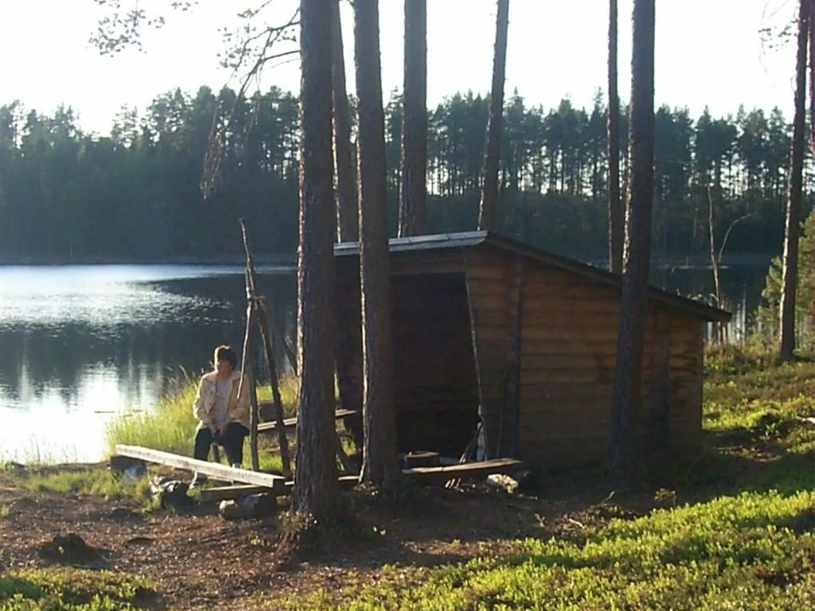
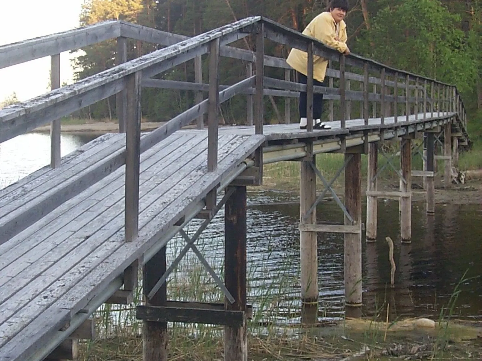
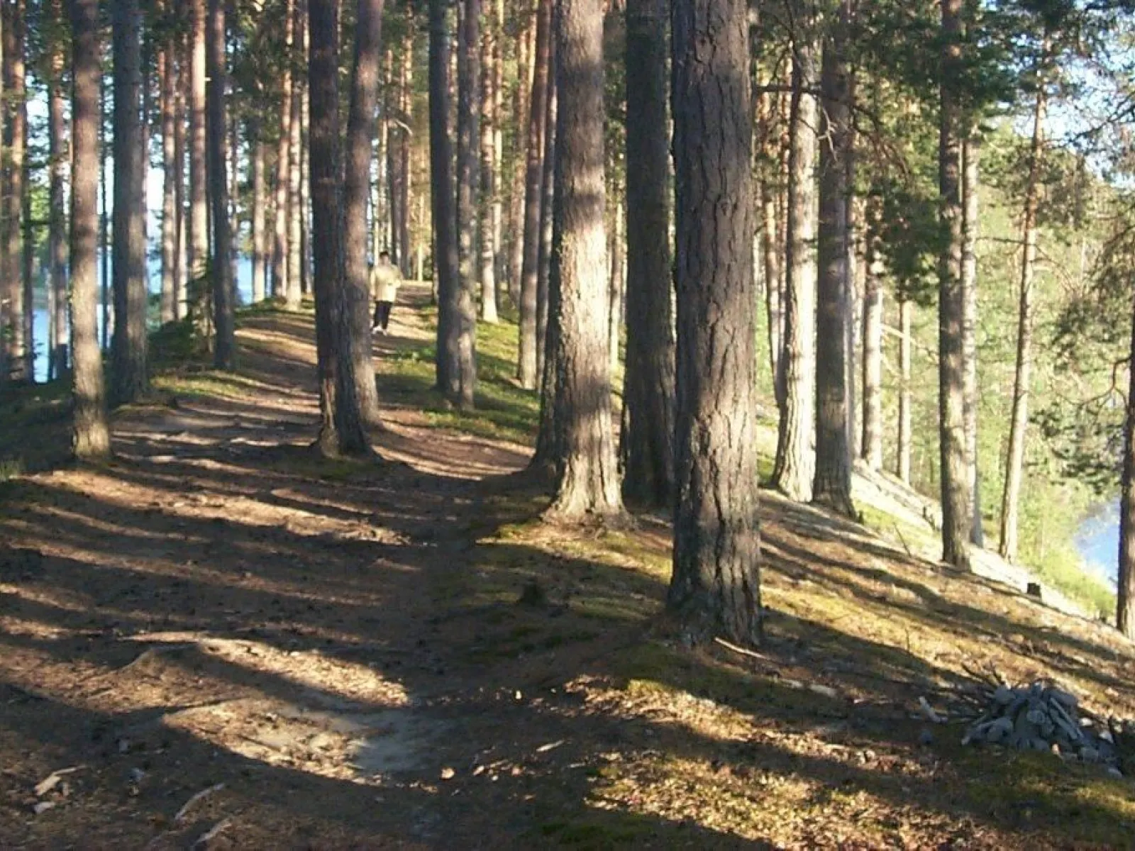
The entire trail is about 3 km, of which 1.5 km is on the boulder ridge with water on both sides. After 0.5 km, you can look out over Gammel-gården and Voijen on the east side, where one of the first settlers in Graninge settled in the 1500s. After 1 km of hiking, you will find on the west side a wind shelter with a campfire site at the lake beach. Opposite, you can take a dip at the old bathing place Kattisjen during bathing times. If you continue for another few hundred meters, you walk across water on a bridge structure that replaced the old footbridge that was demolished in the 50s.
The trail is marked with red-painted crosses that are placed at regular intervals.
The trail is marked with red-painted crosses that are placed at regular intervals.